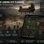
Helicopter Landing Site Planning for Military Operations
For military helicopter operations, a landing site is not just a place where the aircraft can get on the ground. It is a point in the mission where speed, exposure, terrain, aircraft performance, personnel movement and threat all meet. A site may appear large enough. It may be close to the objective. It may look […]